Mini-Map Monday
Welcome all to the very first Mini-Map Monday (MMM)! I hope to make this a relatively routine project, bringing free small maps and their settings to you every week. Often I work on these during slow periods at work or when my kid wants me to bring him and his friends to the park (if you watch my FB page it makes more sense).
The Mini-Maps came about as I've been practicing my map making skin with pen and paper, so don't be surprised if some of my older maps pop up as I develop settings around them.
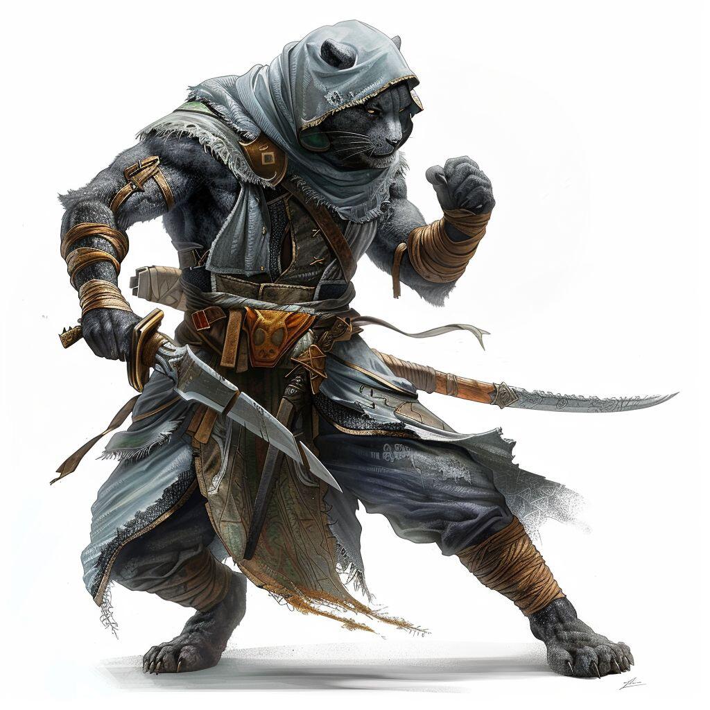
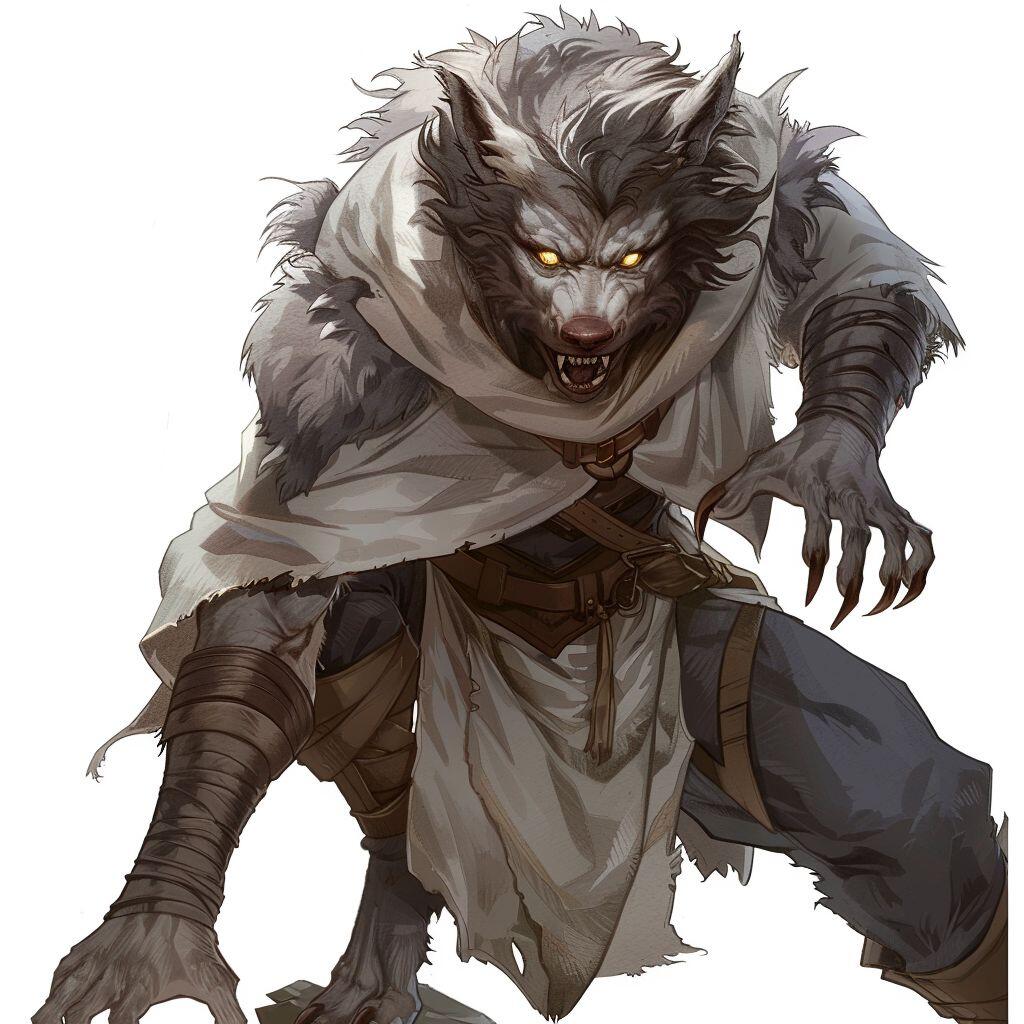
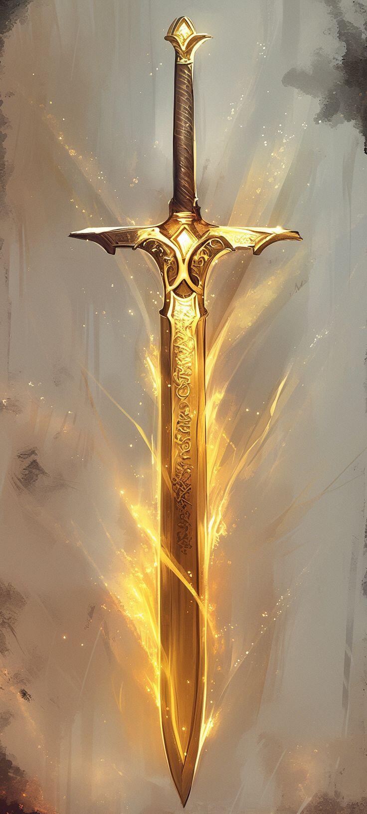
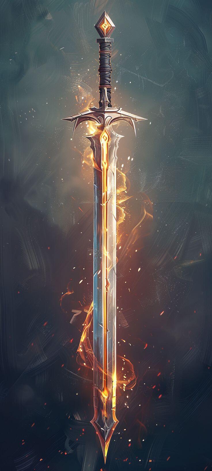
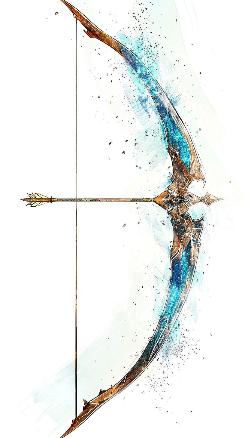
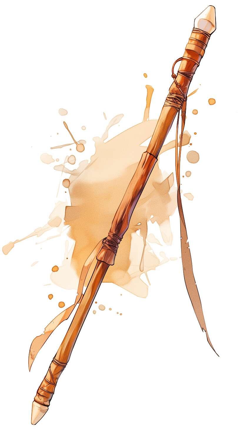
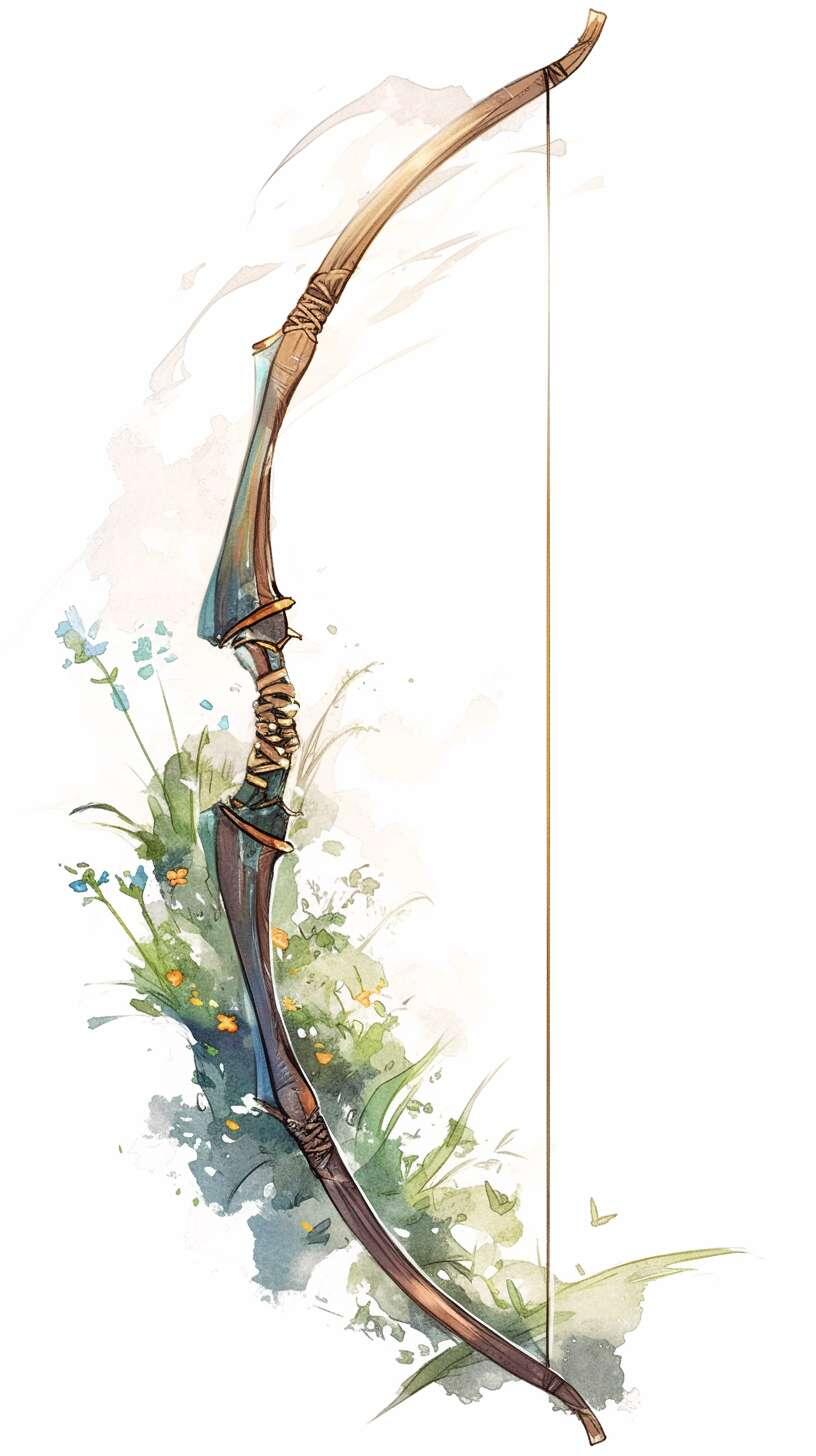
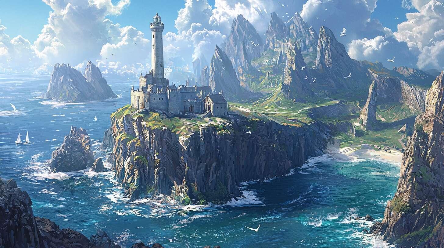
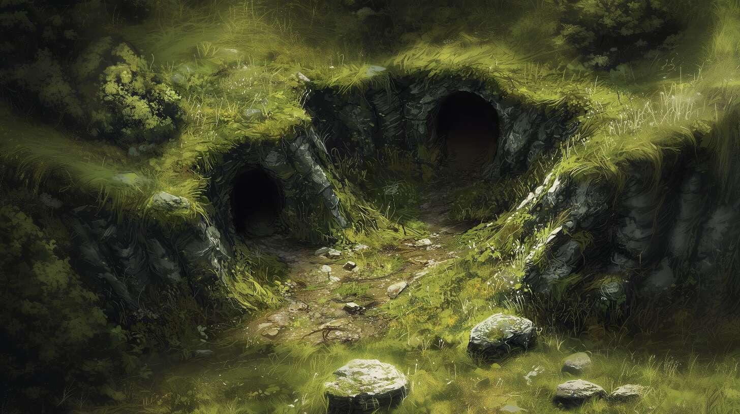
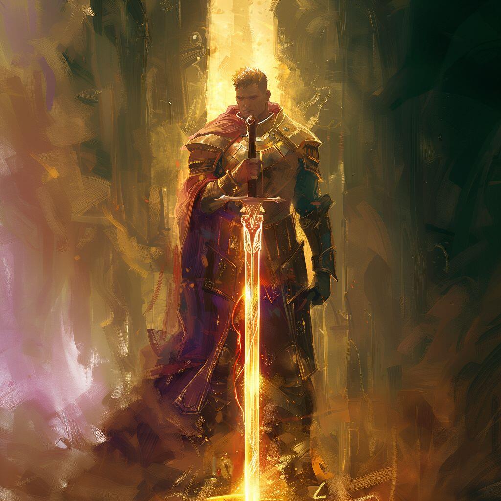
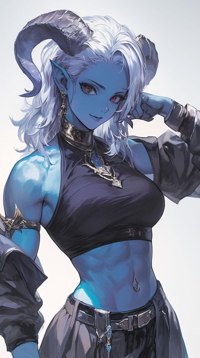
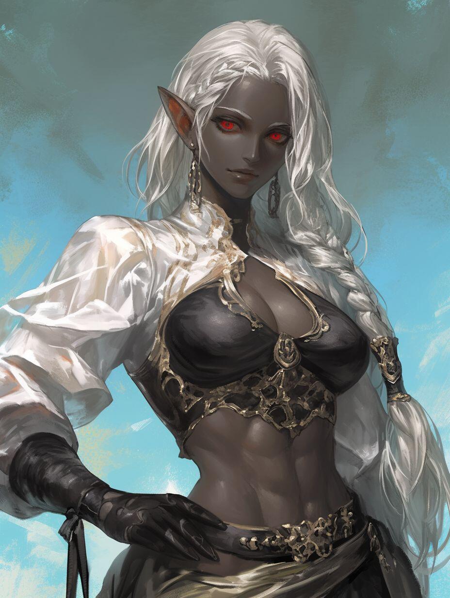
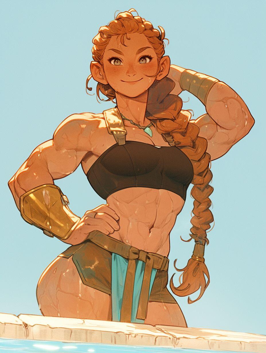
The maps are hand drawn by myself, the other images have been generated with AI.
The Freeport Islands
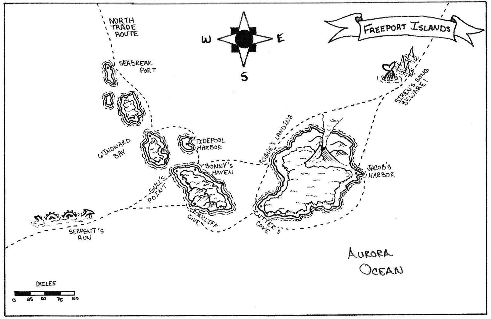
The Freeport Islands are a collection of seven inhabitable islands found in the Aurora Ocean. Far from the continent, they are difficult to reach unless you know the winds and trade routes.
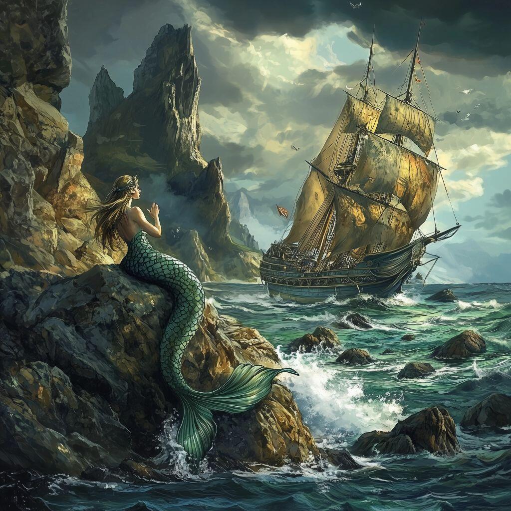
But even that information may not be enough to reach them safely. The Eastern route passes dangerously close to the Siren’s Song, bare stone spires that jut out of the ocean, home to merfolk and sirens. They call to any ships that pass by, leading them to be crushed upon the rocks that hide beneath the surface of the water.
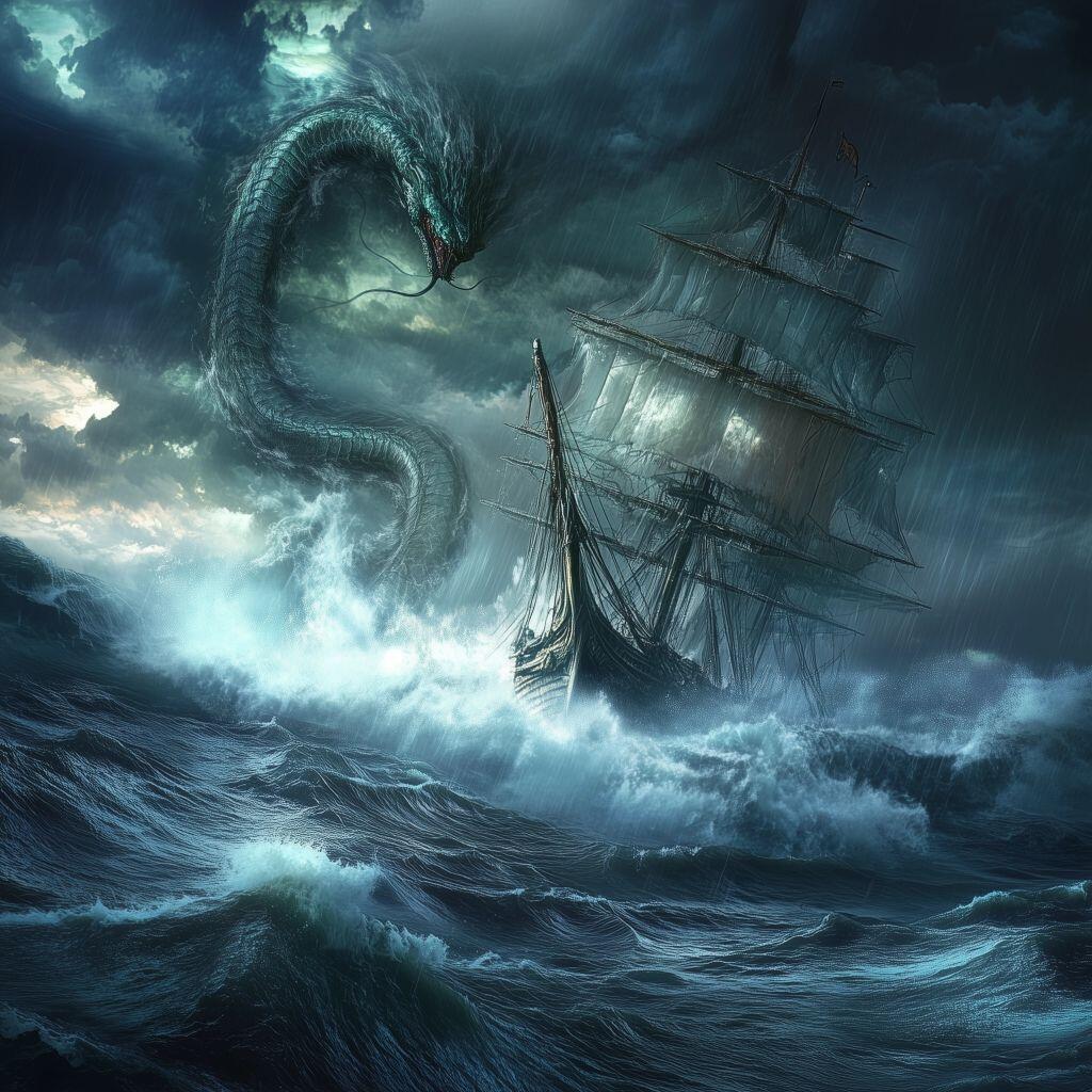
The Western route is no safer. These waters are teaming with Sea Serpents of all sizes. Ships must sale quickly, and with all crew on alert, to traverse these waters.
Only the North Trade Route is truly “safe” and even that is only in comparison to the other routes. The northern route is the longest and storms are common in these areas.
If it is so dangerous to travel here, why then do people do people do it? Well, the Freeport Islands are home to pirates, smugglers, and rogues of all types. Considered a lawless place by outsiders, those that live there find it to be the most liberated lands in the world. The islands themselves are not named, instead the citizens of the islands distinguish themselves by their Ports.
The main ports are: Jacob’s Harbor, Rogue’s Landing, Cutter’s Cove, Bonny’s Haven, Ironcliff Cove, Gull’s Point, Tidepool Harbor, Windward Bay, and Seabreak Port.
Each Port has its own ruling government.
#ttrpg
#dnd
#dungeonsanddragons
#fantasyworldcreations
#marcusfwc


 #ttrpg
#fantasyworldcreations
#marcusfwcs
#dnd
#dungeonsanddragons
#grownostr
#midjourney
#ttrpg
#fantasyworldcreations
#marcusfwcs
#dnd
#dungeonsanddragons
#grownostr
#midjourney

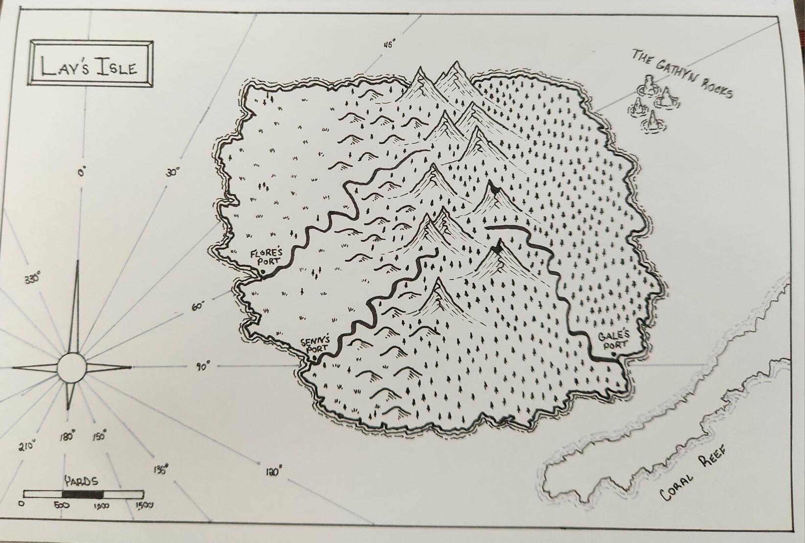 Welcome to Lay's Isle, a small island in the Aurora Ocean that is a common stopping point for many trade ships. It hosts three ports: Flore's Port, Senn's Port, and Gale's Port, named for the captains that originally found and colonized the island.
This island has often provided a safe harbor during storms, fresh food and water to replenish stores, and lumber for repairs.
Be wary though, there are dangerous rocks and reefs off the shoreline along the north and south eastern sides of the island. The Gathyn Rocks are named after Admiral Gathyn, who ran his ship onto them. No sailors were lost, but his shame lives on forever.
----------------------------------------------------------------
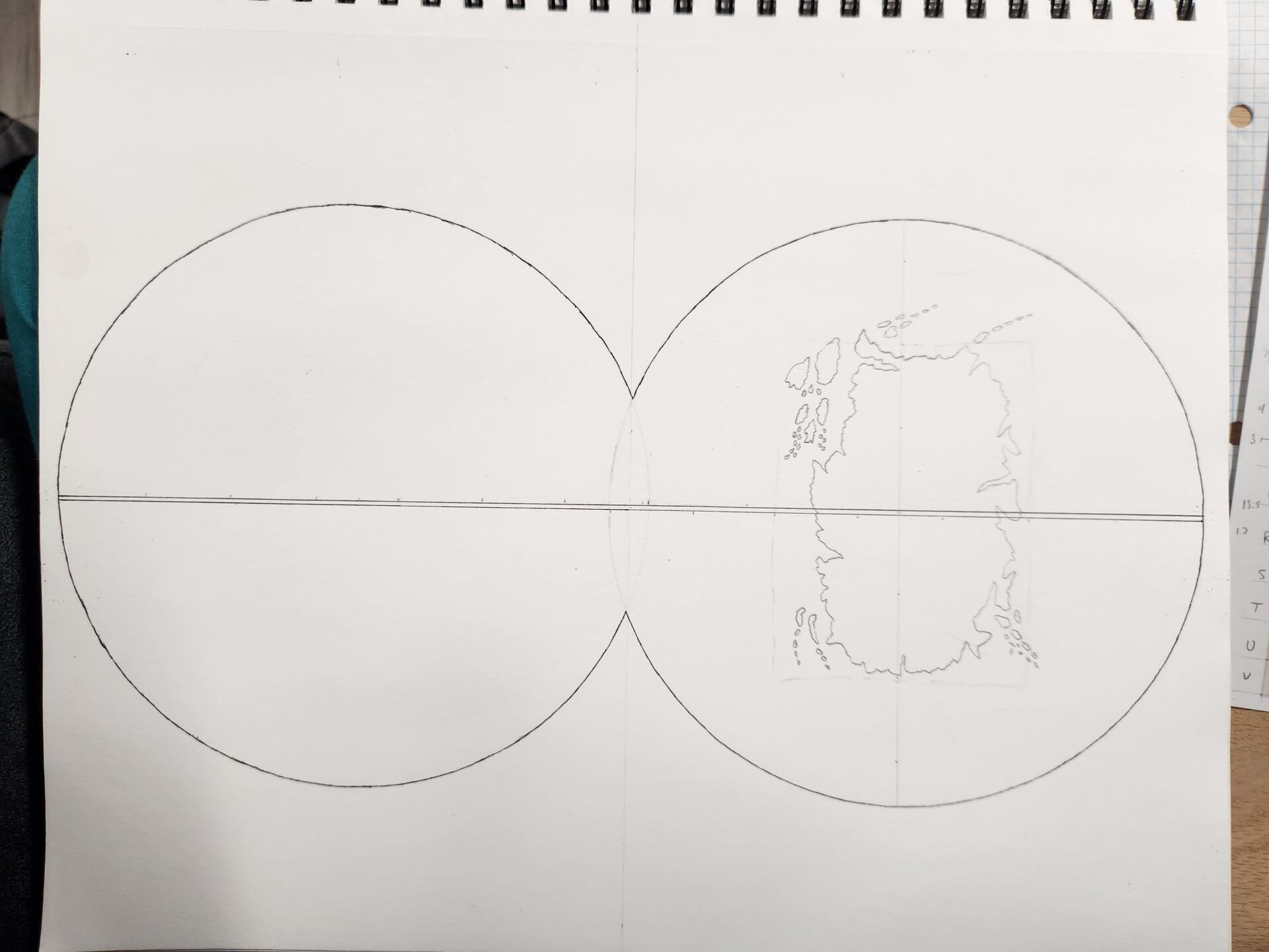
With a week off, MMM is back on track!
I have a new scanner/printer now, but don't have my computer hooked up to it. So please bear with me a little longer with the phone camera. Until then, enjoy the map.
As always, these maps are free to use in your own campaign setting.
If you'd like to know more about this setting, find me on:
Gab: @MarcusFWC
Facebook:
Welcome to Lay's Isle, a small island in the Aurora Ocean that is a common stopping point for many trade ships. It hosts three ports: Flore's Port, Senn's Port, and Gale's Port, named for the captains that originally found and colonized the island.
This island has often provided a safe harbor during storms, fresh food and water to replenish stores, and lumber for repairs.
Be wary though, there are dangerous rocks and reefs off the shoreline along the north and south eastern sides of the island. The Gathyn Rocks are named after Admiral Gathyn, who ran his ship onto them. No sailors were lost, but his shame lives on forever.
----------------------------------------------------------------
With a week off, MMM is back on track!
I have a new scanner/printer now, but don't have my computer hooked up to it. So please bear with me a little longer with the phone camera. Until then, enjoy the map.
As always, these maps are free to use in your own campaign setting.
If you'd like to know more about this setting, find me on:
Gab: @MarcusFWC
Facebook: 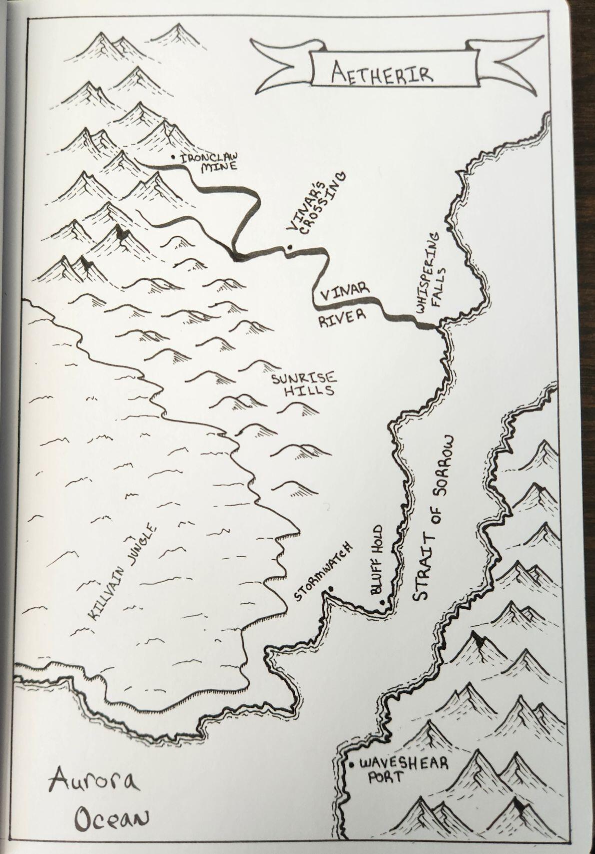 Mini-Map Monday #3
Keeping up with the project, here is the third installment. Unfortunately, I have not bought a new printer/scanner yet so you'll have to survive on my phone's camera for a little longer.
I decided to connect this map to the last 2 weeks maps. You'll notice the same Aurora Ocean and Killvain Jungle popping up.
No, this wasn't originally planned, but it looks like I'm making another world lol.
----------------------------------------------------------------
Today's MMM features the small Baronry of Vinar at the southern tip of Aetherir. They too border the dangerous Killvain Jungle.
This area oversees the Strait of Sorrow. High cliffs on the western bank and impassible mountains on the eastern, there is no safe harbor until the Straits are passed. Just one port, the Waveshear Port, is available to those who sail this way.
The Capitol is Vinar's Crossing, named of course for the Vinar River, which flows over the cliffside. This area is known primarily for its iron mines.
------------------------------------------------------
If you'd like to know more about this setting, find me on:
Gab: @MarcusFWC
Facebook:
Mini-Map Monday #3
Keeping up with the project, here is the third installment. Unfortunately, I have not bought a new printer/scanner yet so you'll have to survive on my phone's camera for a little longer.
I decided to connect this map to the last 2 weeks maps. You'll notice the same Aurora Ocean and Killvain Jungle popping up.
No, this wasn't originally planned, but it looks like I'm making another world lol.
----------------------------------------------------------------
Today's MMM features the small Baronry of Vinar at the southern tip of Aetherir. They too border the dangerous Killvain Jungle.
This area oversees the Strait of Sorrow. High cliffs on the western bank and impassible mountains on the eastern, there is no safe harbor until the Straits are passed. Just one port, the Waveshear Port, is available to those who sail this way.
The Capitol is Vinar's Crossing, named of course for the Vinar River, which flows over the cliffside. This area is known primarily for its iron mines.
------------------------------------------------------
If you'd like to know more about this setting, find me on:
Gab: @MarcusFWC
Facebook: 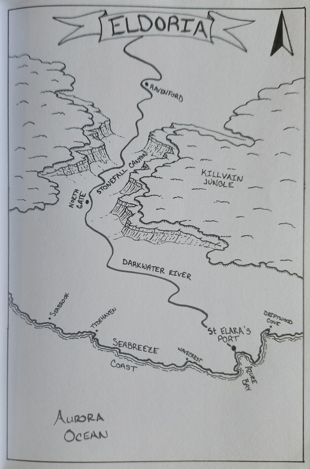 Welcome to the 2nd installment of Mini-Map Monday. This is where I create small maps, add a little setting info, and present it to you for use in your games if you need it.
The map was drawn by hand.
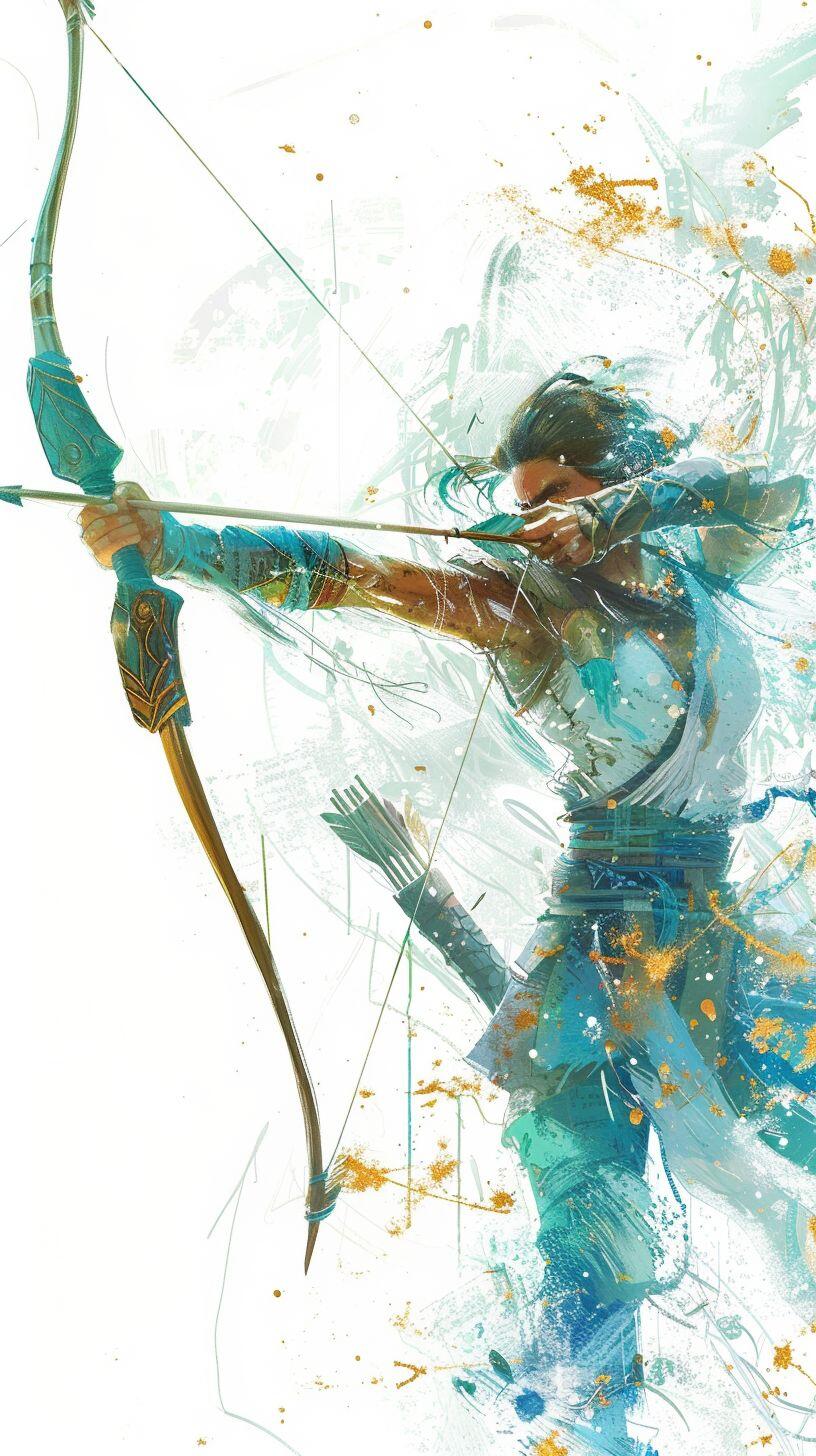
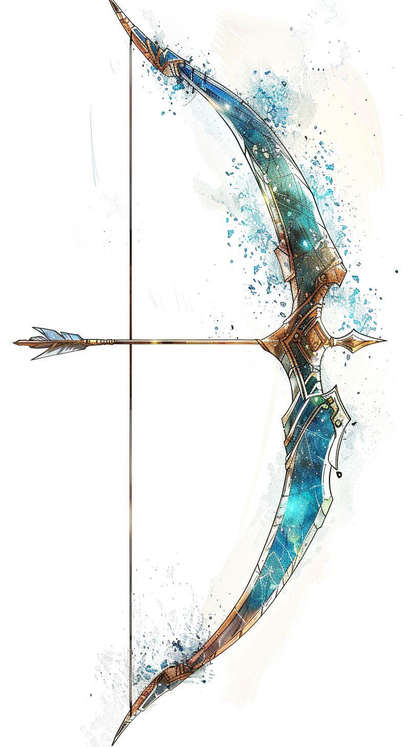
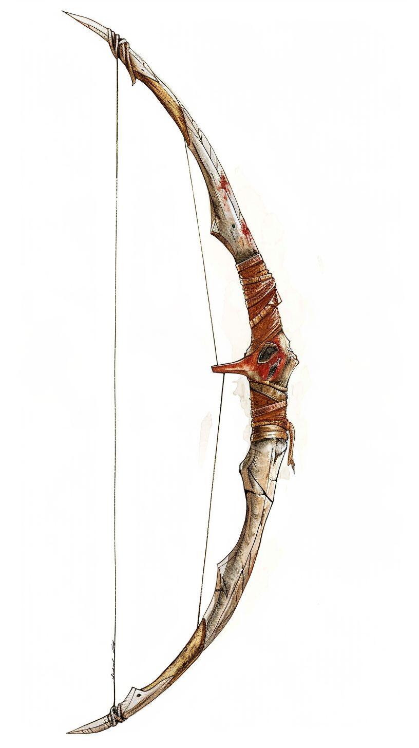
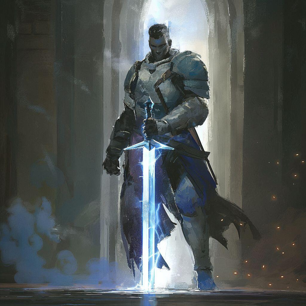
The other images were generated with Midjourney.
Unfortunately, my scanner/printer has finally died, so the map image is a picture taken from my phone. Once I have a new scanner, I'll get a better image up, but until then enjoy the map!
‐-------------------------
Seabreeze Coast
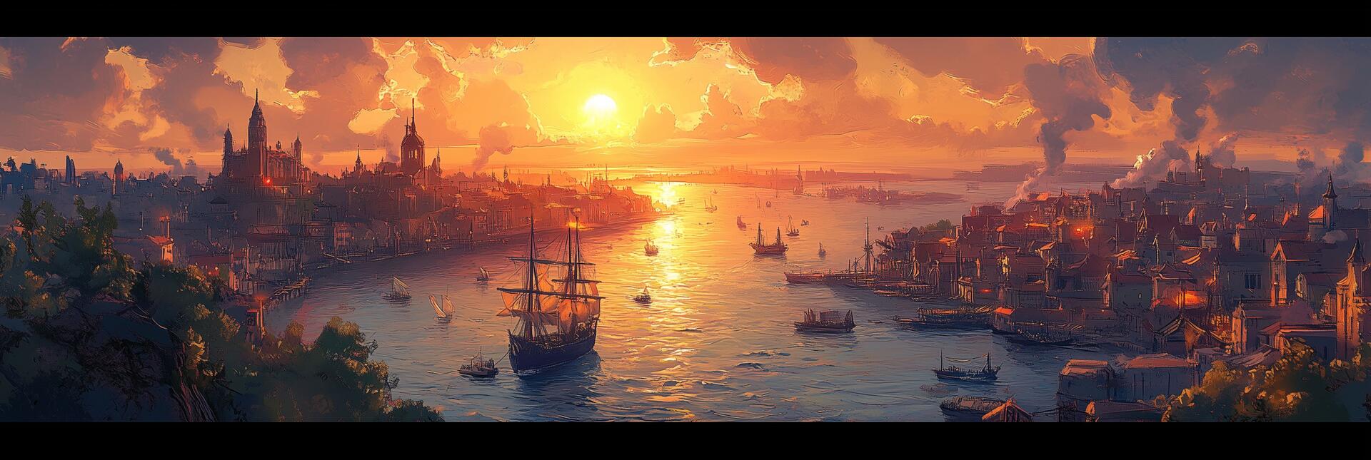
The Seabreeze Coast is a small territory of the larger country, Eldoria. It holds just three cities: the Capitol, St. Elara's Port, which sits at the end of the Darkwater River where it meets the Aurora Ocean in the Azure Bay, The North Gate, which sits on the southern end of the Stonefall Canyon, and Ravenford.
While small, it has vital importance to Eldoria as one of the few areas Eldoria can access the Coast and provide shipping. The only way to reach The Seabreeze Coast is by boat along the Darkwater River, though the Stonefall Canyon. Travel by foot, through the Killvain Jungle, is nearly impossible.
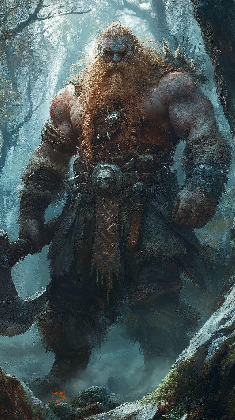
What makes the Jungle so dangerous? It is home to the Forest Dwarves, a sub race of Dwarves that are vicious in nature, extremely territorial, and completely xenophobic. They allow none to pass through their boarders without a fight.
But Eldoria cannot afford to lose this route, so they have invested in a powerful naval force to be stationed at St. Elara's Port and North Gate is more military base than city. Vital shipping goods flow into the country at this point.
If you'd like to know more about this setting, find me on:
Gab: @MarcusFWC
Facebook:
Welcome to the 2nd installment of Mini-Map Monday. This is where I create small maps, add a little setting info, and present it to you for use in your games if you need it.
The map was drawn by hand.
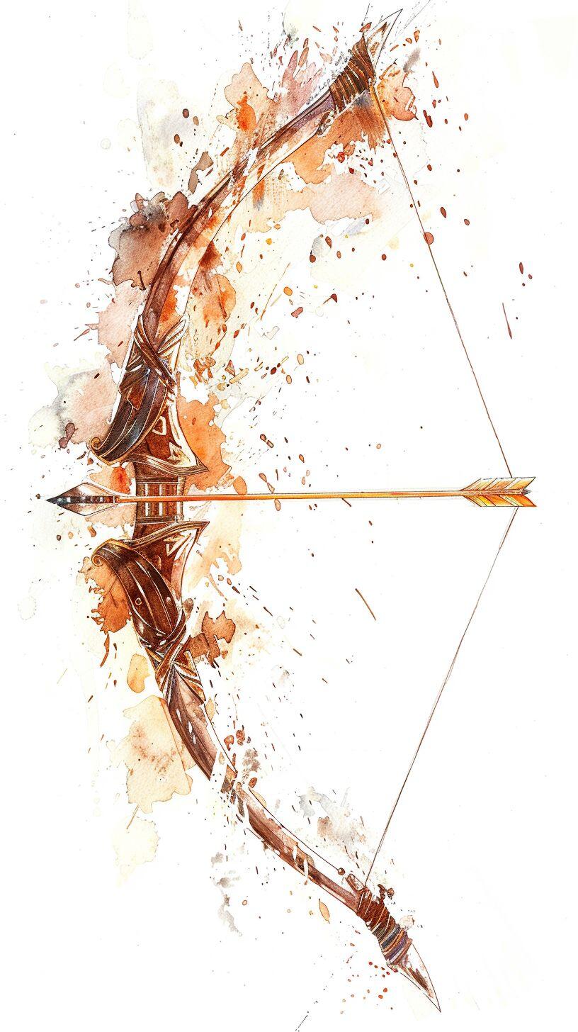
The other images were generated with Midjourney.
Unfortunately, my scanner/printer has finally died, so the map image is a picture taken from my phone. Once I have a new scanner, I'll get a better image up, but until then enjoy the map!
‐-------------------------
Seabreeze Coast
The Seabreeze Coast is a small territory of the larger country, Eldoria. It holds just three cities: the Capitol, St. Elara's Port, which sits at the end of the Darkwater River where it meets the Aurora Ocean in the Azure Bay, The North Gate, which sits on the southern end of the Stonefall Canyon, and Ravenford.
While small, it has vital importance to Eldoria as one of the few areas Eldoria can access the Coast and provide shipping. The only way to reach The Seabreeze Coast is by boat along the Darkwater River, though the Stonefall Canyon. Travel by foot, through the Killvain Jungle, is nearly impossible.
What makes the Jungle so dangerous? It is home to the Forest Dwarves, a sub race of Dwarves that are vicious in nature, extremely territorial, and completely xenophobic. They allow none to pass through their boarders without a fight.
But Eldoria cannot afford to lose this route, so they have invested in a powerful naval force to be stationed at St. Elara's Port and North Gate is more military base than city. Vital shipping goods flow into the country at this point.
If you'd like to know more about this setting, find me on:
Gab: @MarcusFWC
Facebook: 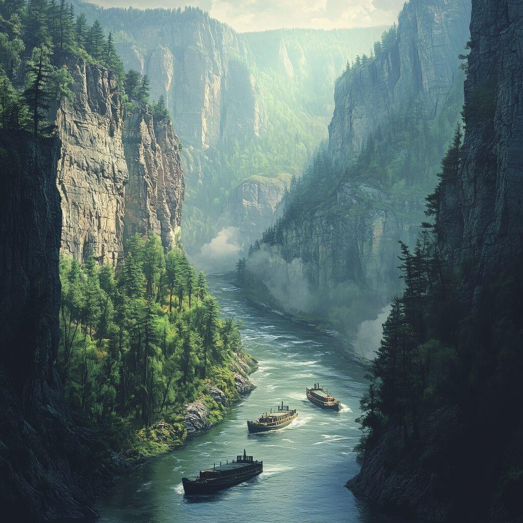
 This is a WiP on a world map I use for my own campaigns. If it looks pretty rough, that's cause I'm using only steel nib pens and a small paint brush.
I went to the Ren Faire today and it made me want to break out the calligraphy set again.
#grownostr
#nostrafterdark
#ttrpg
#dnd
#dungeonsanddragons
#cartography
#fantasymaps
#marcusfwc
#fantasyworldcreations
This is a WiP on a world map I use for my own campaigns. If it looks pretty rough, that's cause I'm using only steel nib pens and a small paint brush.
I went to the Ren Faire today and it made me want to break out the calligraphy set again.
#grownostr
#nostrafterdark
#ttrpg
#dnd
#dungeonsanddragons
#cartography
#fantasymaps
#marcusfwc
#fantasyworldcreations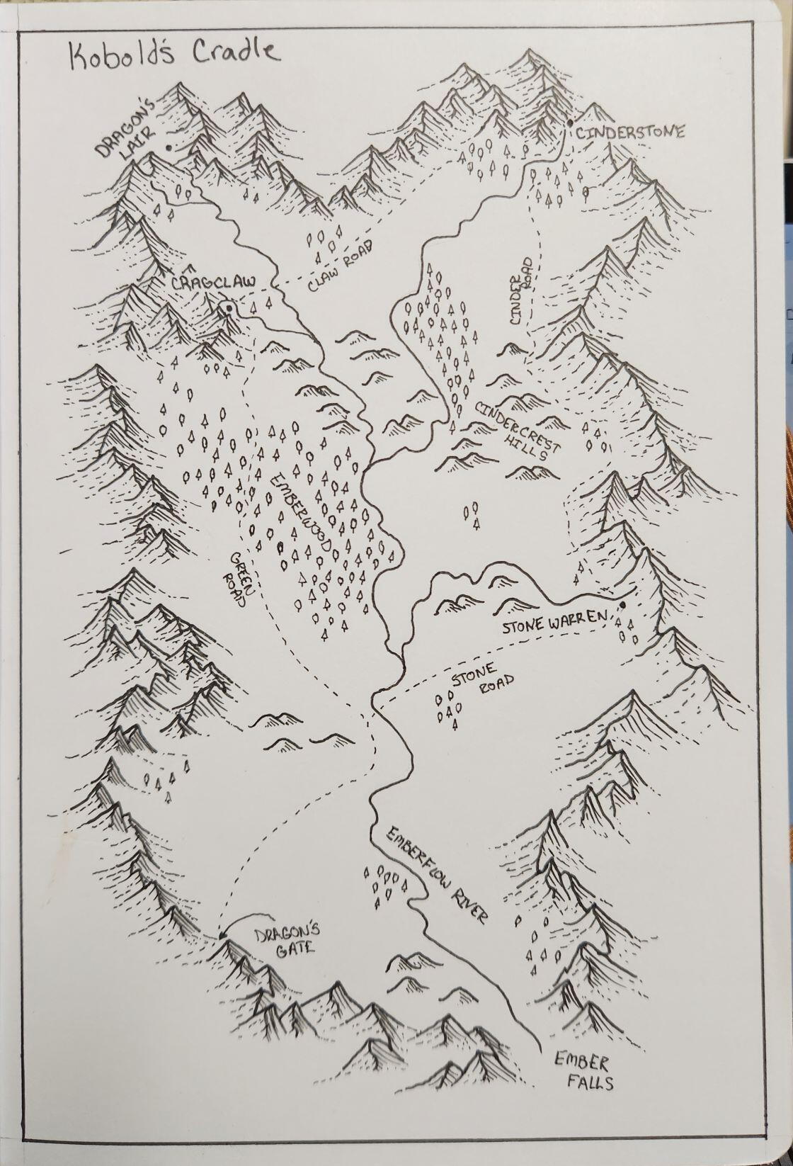 Finished the map.
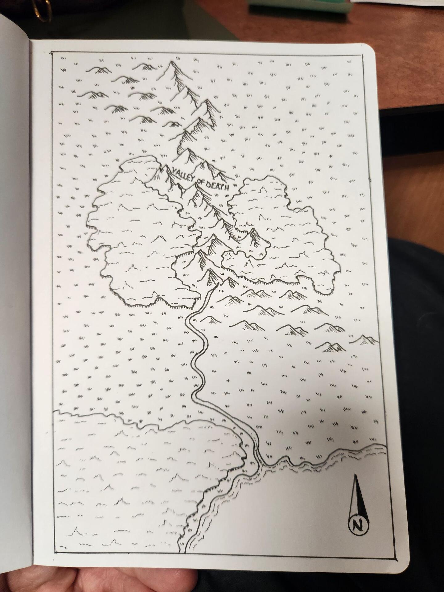
This is Kobold's Cradle, a mountain valley in the greater Sunderpeak Mountains. It's known best for its silver mines, for which there are 3 active mines. Kobolds are the primary race here, but some dwarves and goliath can be found.
This small map will be used in a d&d game I am running in 5e and this particular arc is filled with undead.
#grownostr
#dnd
#dungeonsanddragons
#ttrpg
#fantasy
#nostrafterdark
#marcusfwc
#fantasyworldcreations
Finished the map.
This is Kobold's Cradle, a mountain valley in the greater Sunderpeak Mountains. It's known best for its silver mines, for which there are 3 active mines. Kobolds are the primary race here, but some dwarves and goliath can be found.
This small map will be used in a d&d game I am running in 5e and this particular arc is filled with undead.
#grownostr
#dnd
#dungeonsanddragons
#ttrpg
#fantasy
#nostrafterdark
#marcusfwc
#fantasyworldcreations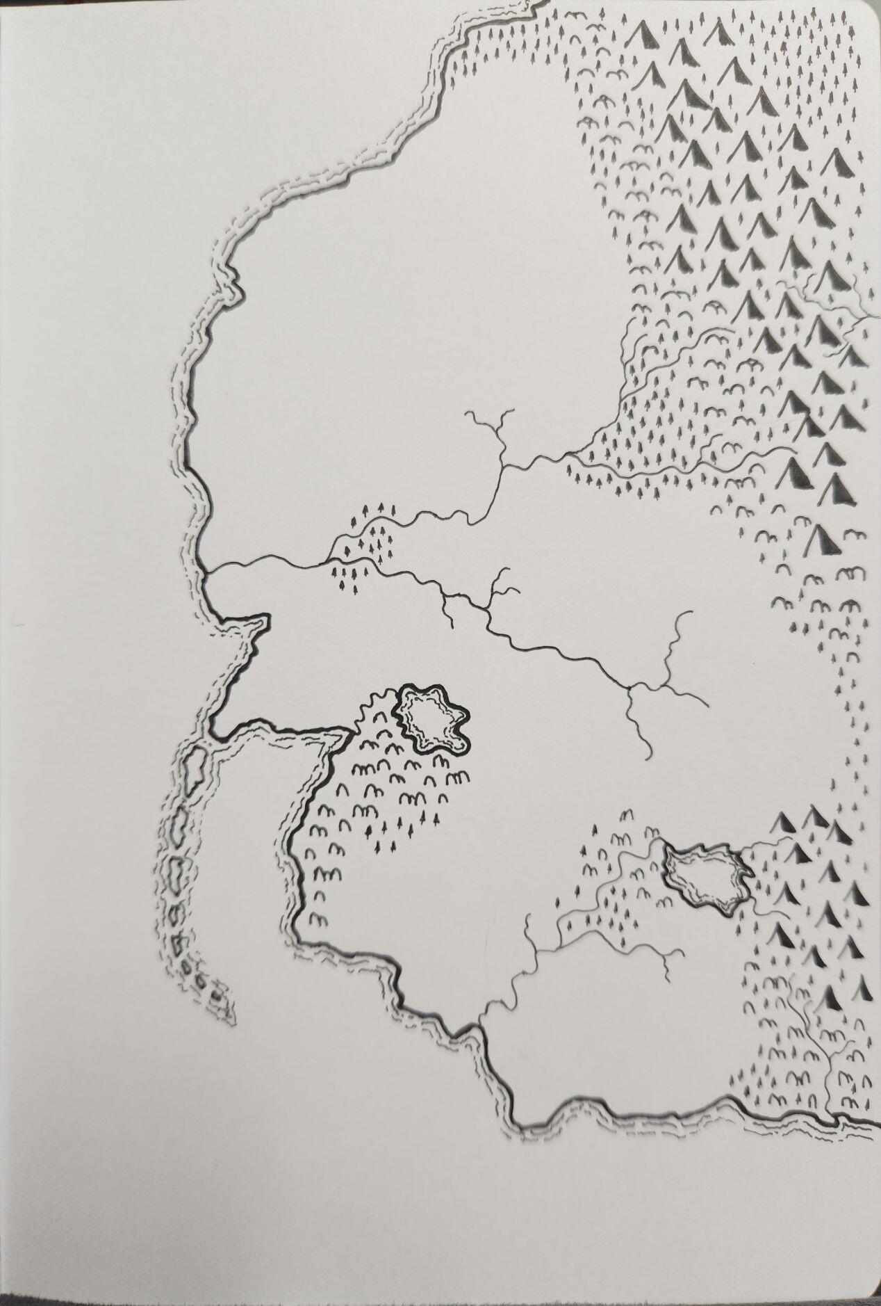 Another hand drawn map. I merged the styles of 1 and 2 a bit and I came out pretty good, though I'm not too fond of the hills I drew.
#grownostr
#ttrpg
#maps
#dnd
#dungeonsanddragons
#cartography
#marcusfwc
#fantasyworldcreations
Another hand drawn map. I merged the styles of 1 and 2 a bit and I came out pretty good, though I'm not too fond of the hills I drew.
#grownostr
#ttrpg
#maps
#dnd
#dungeonsanddragons
#cartography
#marcusfwc
#fantasyworldcreations
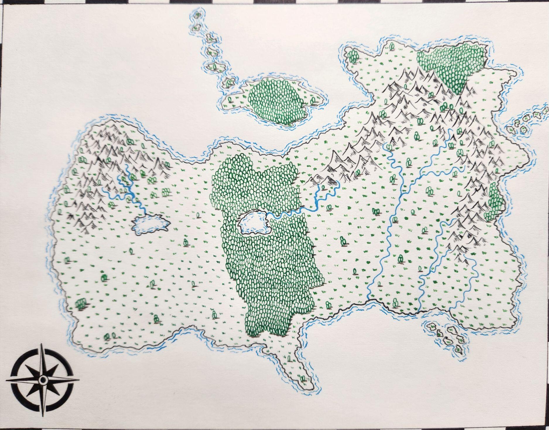
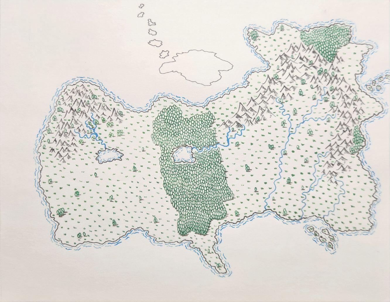
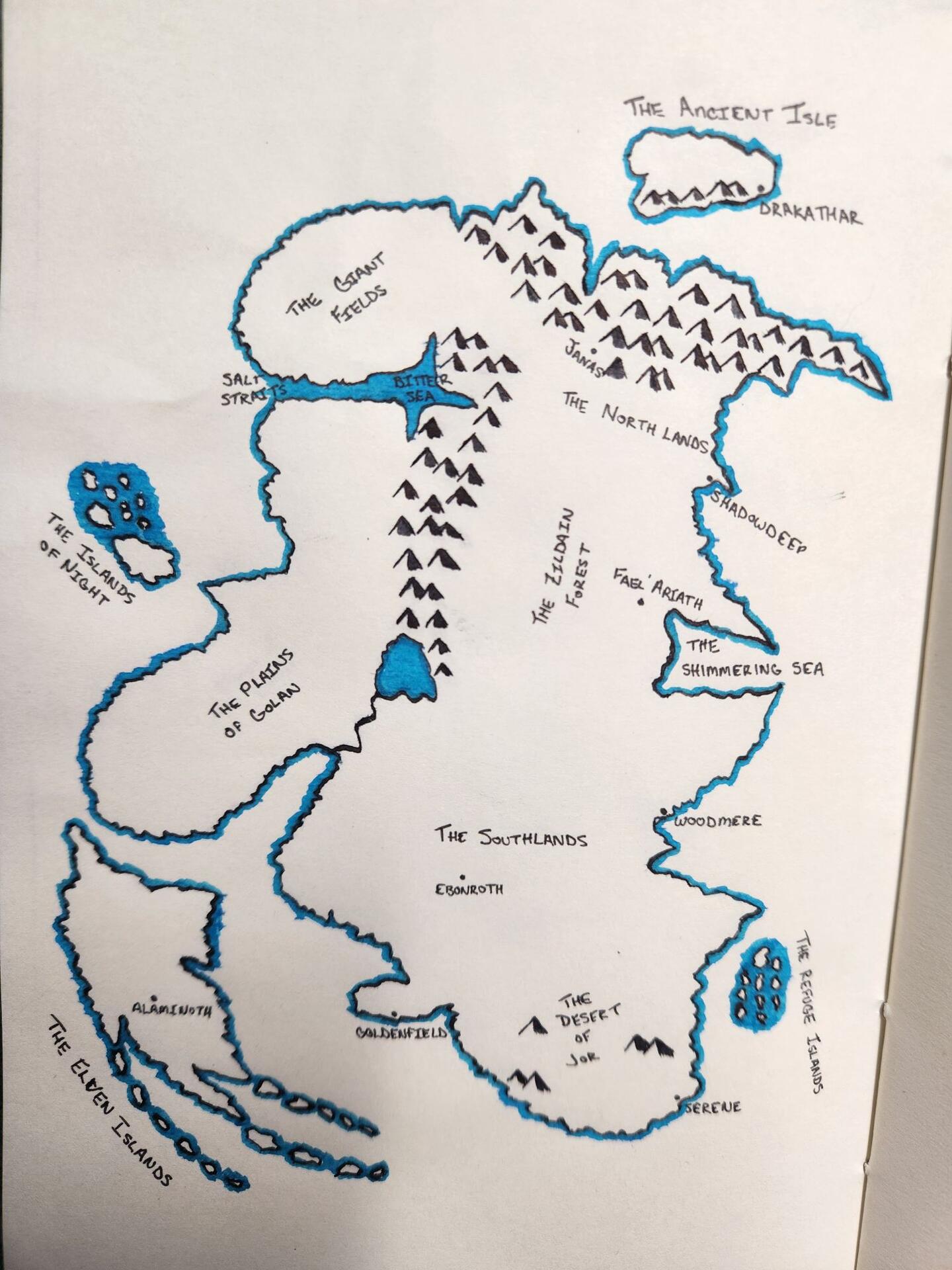
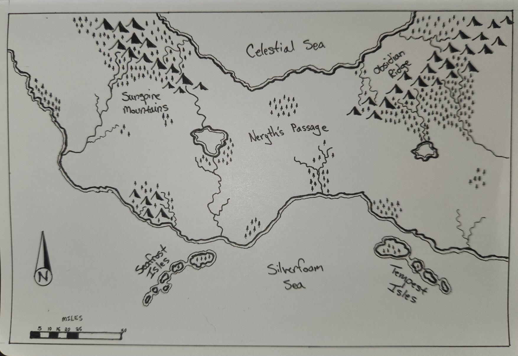 Another practice map done by hand. I went with a more simplistic style seen in older fantasy books, like The Riftwar Saga by Raymond E Feist.
There was a lot of open white space in the North where the Celestial Sea is, so I decides to make the map an Isthmus, which worked out nicely. My handwriting could use some work 😆
#cartography
#ttrpg
#dnd
#dungeonsanddragons
#grownostr
#nostrafterdark
#marcusfwc
#fantasyworldcreations
Another practice map done by hand. I went with a more simplistic style seen in older fantasy books, like The Riftwar Saga by Raymond E Feist.
There was a lot of open white space in the North where the Celestial Sea is, so I decides to make the map an Isthmus, which worked out nicely. My handwriting could use some work 😆
#cartography
#ttrpg
#dnd
#dungeonsanddragons
#grownostr
#nostrafterdark
#marcusfwc
#fantasyworldcreations